-
5,416 metres
-
Moshi Kilimanjaro
-
Feb, Mar, Apr & May
-
Eco-Tour, Hiking
-
All meals during the trek
-
English, Spanish, French, Chinese
-
Easy to Moderate
-
2-15
-
12
-
65
-
1 - 8
Overview
6 days climb Kilimanjaro via Marangu
The Marangu Route also known as the “Coca-Cola Route” is the oldest and most well established trekking route on Mount Kilimanjaro, and it remains extremely popular mainly because it is the only route on the mountain that has hut accommodation for trekkers.
Marangu Route Zebra Rock
This path provides trekkers with the classic Kilimanjaro climbing experience, offering sweeping views and a wonderful hiking adventure all the way to the summit of Uhuru Peak. That said, it also has some unique aspects that set it apart from any of the other routes as well, giving Marangu route a character and feeling that is entirely its own.
Marangu Route
Marangu route starting point
One of the more interesting aspects of Marangu Route is that it is the only route up Mount Kilimanjaro that doesn’t allow camping, so instead of sleeping in tents, trekkers stay in permanent huts instead.
These dormitory-style shelters provide extra protection from the wind and rain, which makes this route a popular one for travelers climbing during the rainy season, which comes in April and May. There are 60 bunk beds each at Mandara and Kibo Huts, and 120 bunk beds at Horombo Hut
While staying at those huts, trekkers will sleep in bunk beds equipped with a simple mattress and pillow. They’ll also be able to purchase an array of candy bars, bottled water, and soft drinks, which is why Marangu route is often referred to as the “Coca-Cola Route.”
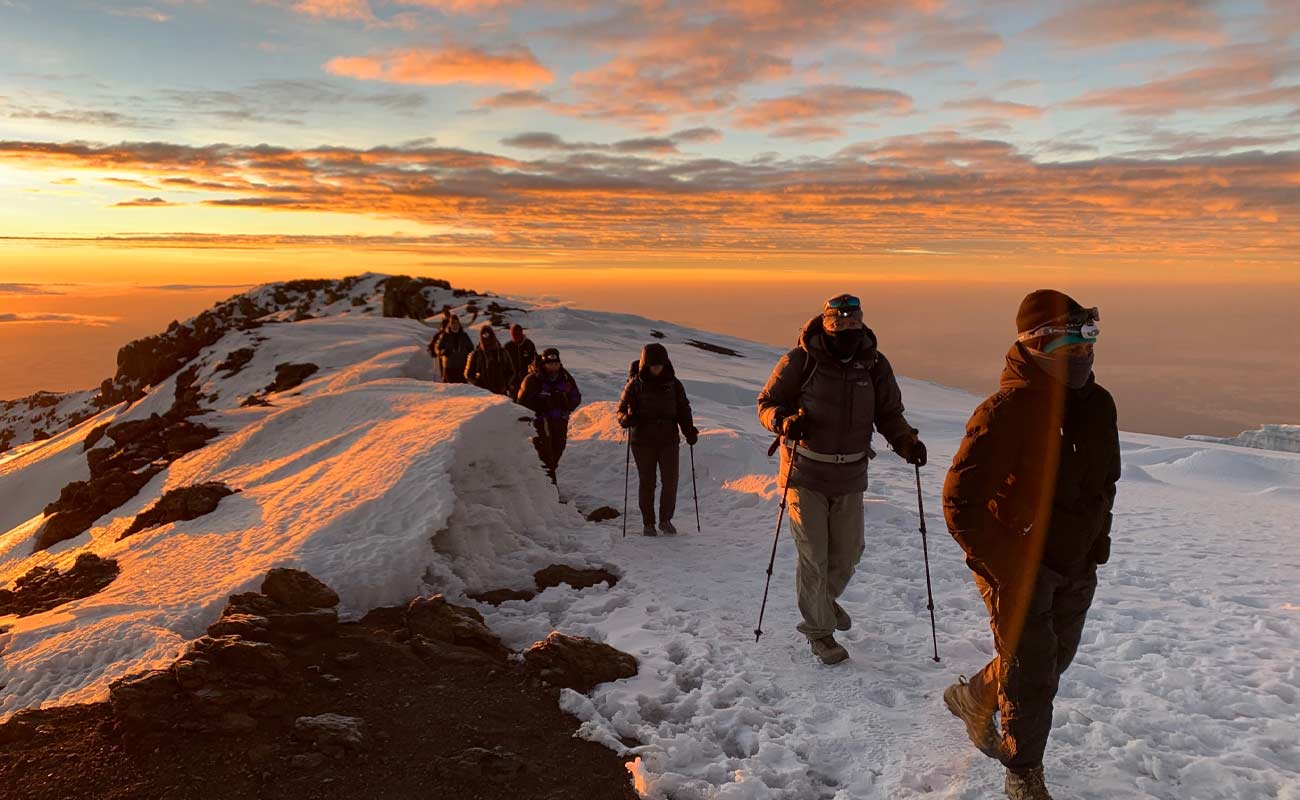
Marangu Route offers a slow, steady climb to each of the daily camps, which has given it the reputation for being the easiest trekking route on Kilimanjaro.
Don’t underestimate this trail however, as the approach to the final camp can be physically demanding with roughly 1000 meters of vertical gain on that day alone.
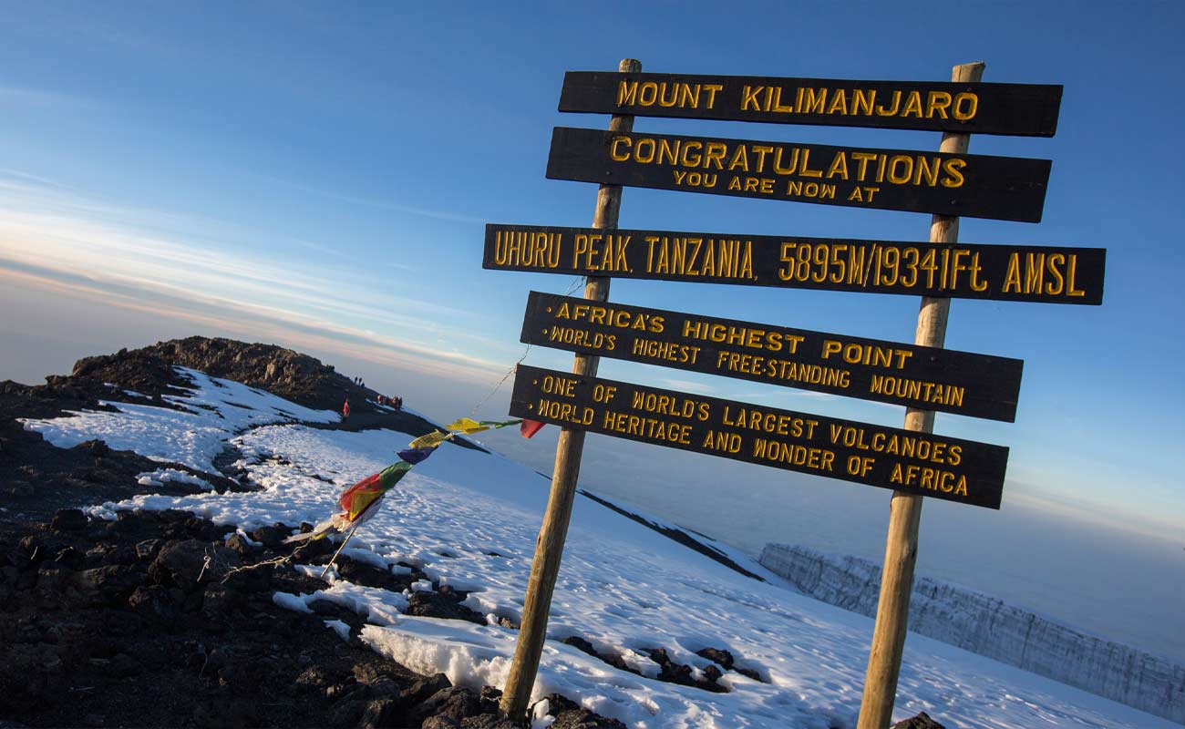
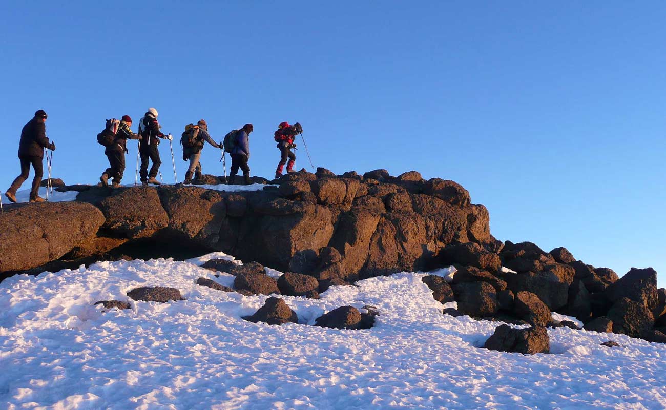
Of course, summit day on Kilimanjaro is always a challenge no matter which direction you approach from, making the final steps onto the top all the more satisfying.
Highlights
- Trek to the world-famous Kilimanjaro Base Camp
- Enjoy the amazing view of the Kilimanjaro mountain